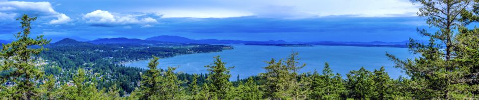
PKOLS-Mount Douglas, the topography of which survives from the Ice Age, currently comprises 188 hectares of floral and fauna wealth in Saanich, British Columbia.
For the W̱SÁNEĆ peoples, PKOLS-Mount Douglas has been a place of great importance since time immemorial.
“[PKOLS] was created by XÁLS [the ‘Creator’] as the where the border begins to transition between us and the Lekwungen people. XÁLS found many sacred stones, called QENDOLES, on the shores of SȾÁUTW̱ [Tsawout]. He threw these stones in different directions to create the high places within W̱SÁNEĆ territory, including PKOLS. “He picked up those rocks and he told our people, ‘I’m marking the locations of the borders of the W̱SÁNEĆ nation.”
– Eric Pelkey, Tsawout First Nation Elder
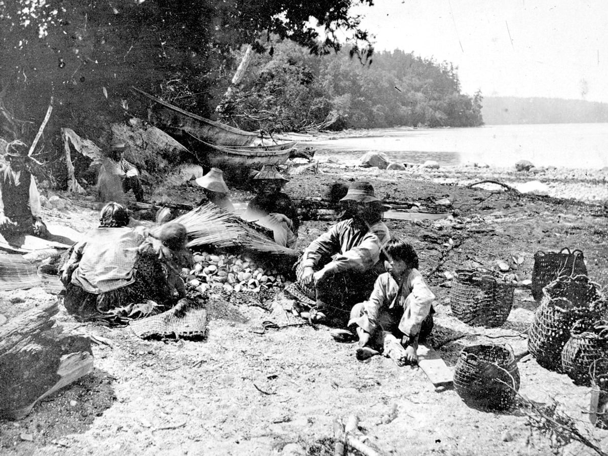
In SENĆOŦEN (the traditional language of the W̱SÁNEĆ peoples), PKOLS translates to “White Head” or “White Rock.” This name refers to the oral history of indigenous people, suggesting this mountain may have been where glaciers last receded on southern Vancouver Island. First Nations paddlers travelling throughout the Salish Sea pulled their canoes up on Mount Douglas Beach for thousands of years. PKOLS has been and continues to be an important place for many Coast Salish communities.
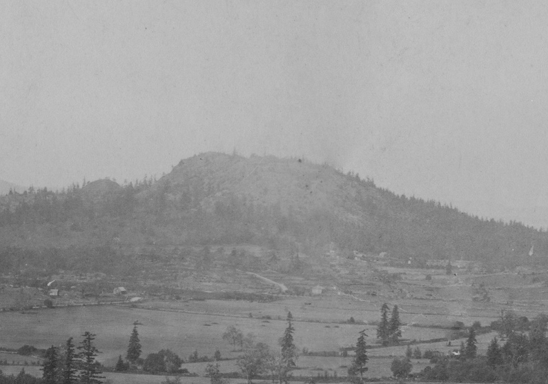
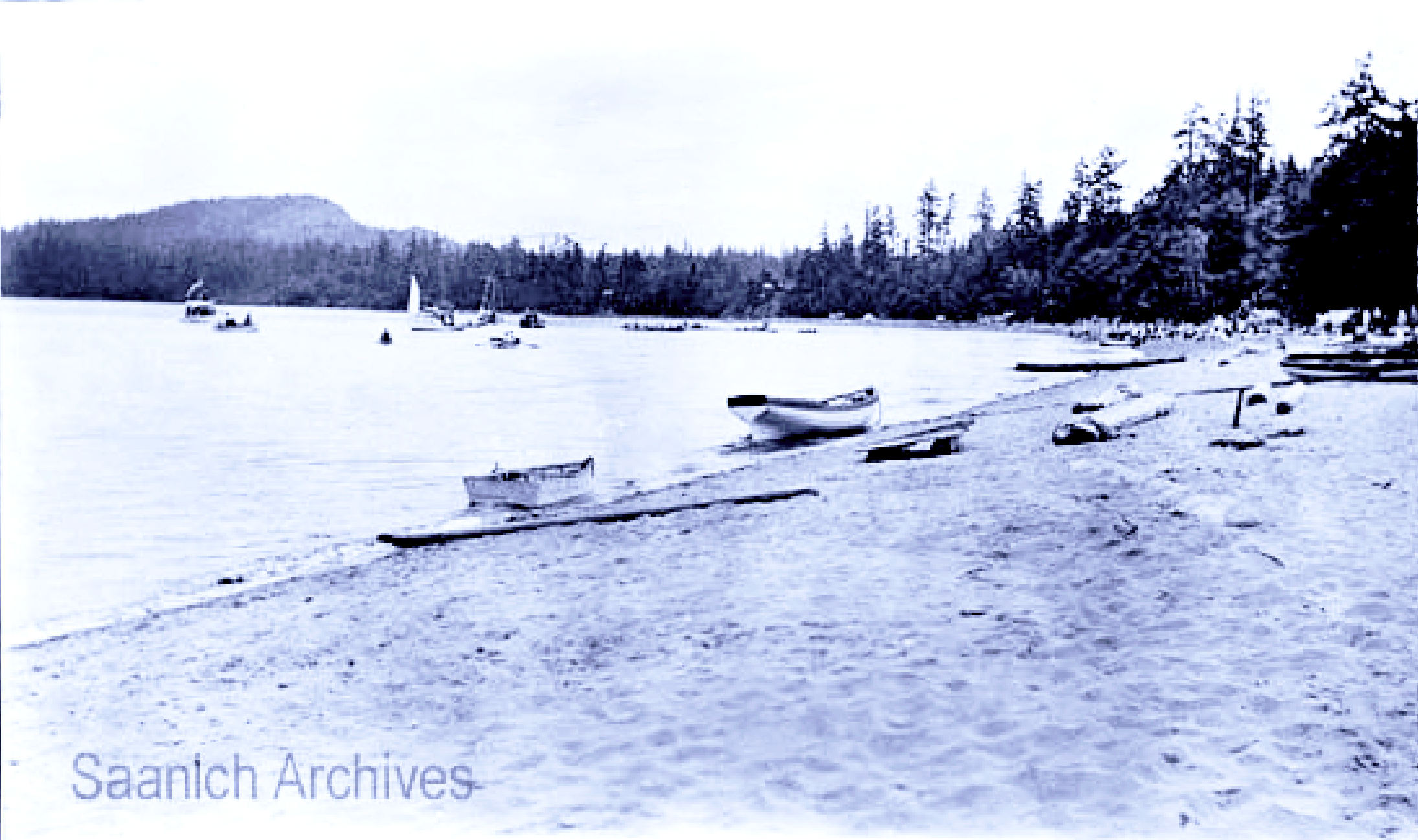
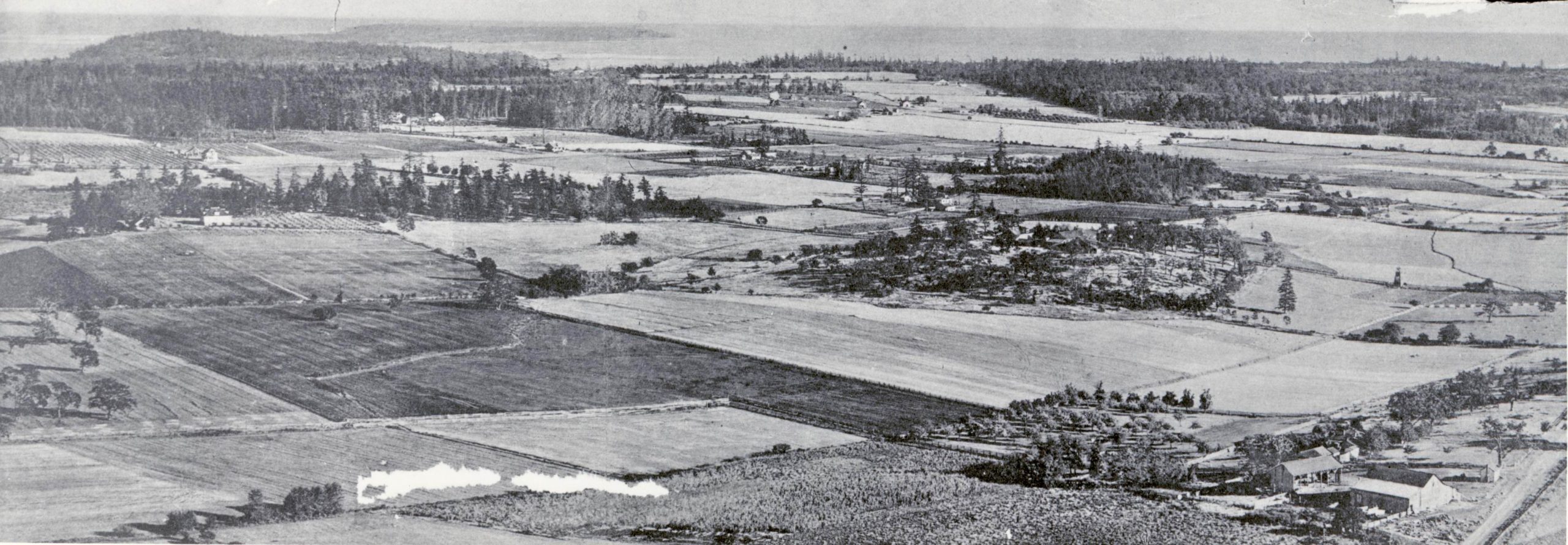
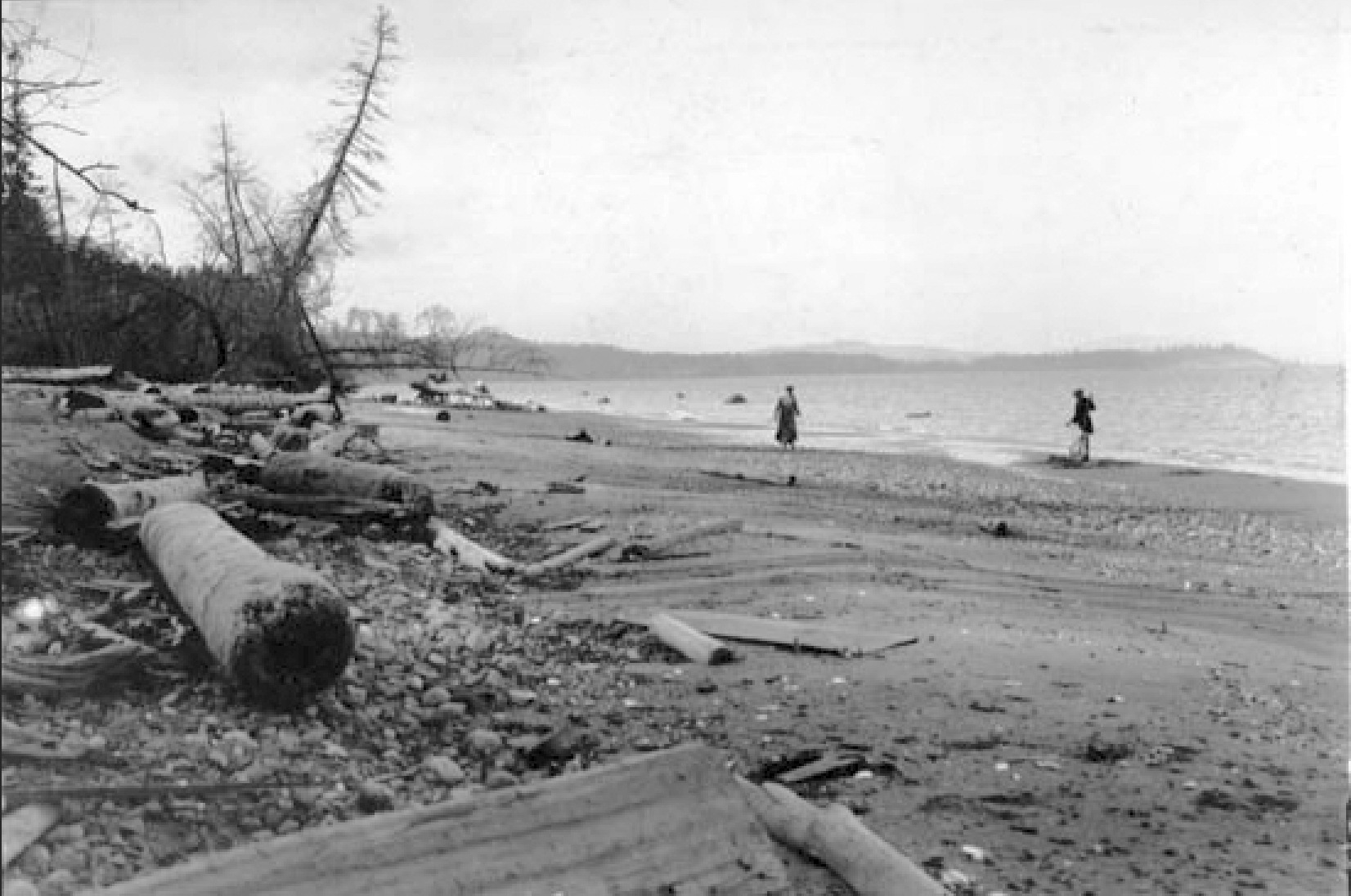
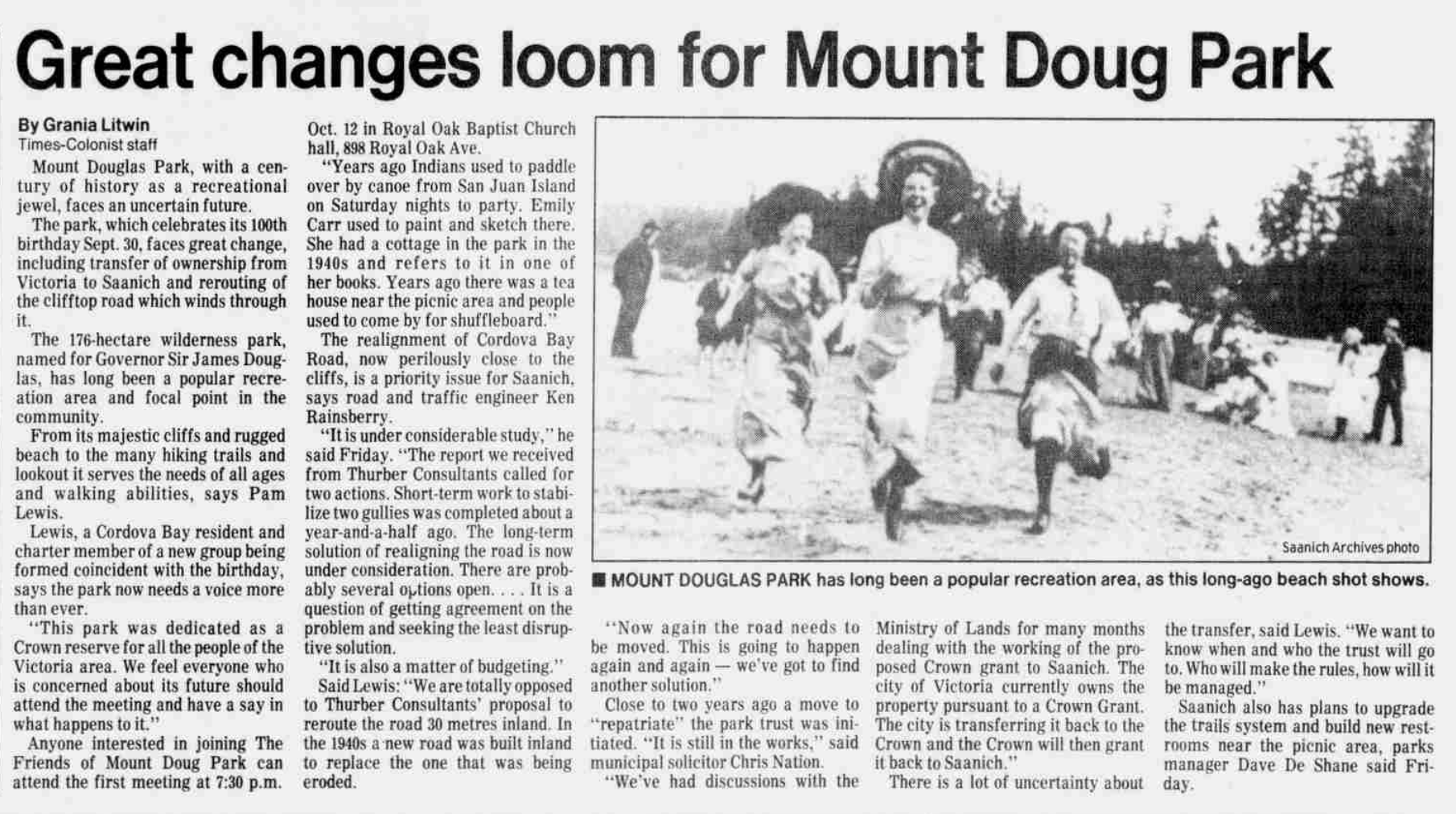
Cordova Bay Beach with Mount Douglas in the distance, 1918
1843 – 1880s
Once called The “Hill of Cedars” in the early days, PKOLS-Mount Douglas was a stopping place for the Songhees Nation on their way to and from Fort Victoria. In 1843, when cedar trees were needed for the palisade of Fort Victoria, the Songhees cut 22-foot cedar pickets from “The Hill of Cedars” and carried them to the site of the fort, travelling back and forth along present-day Cedar Hill Road. They were paid one blanket for every 600 cedar poles. In 1858 Sir James Douglas provided the first official status for the “Hill of Cedars” when he designated it as a Government Preserve.
In 1853, James Tod, son of Hudson Bay Company chief trader John Tod, bought land near the mountain and farmed there for 52 years. He called his homestead Spring Farm for the abundant freshwater springs on the land.
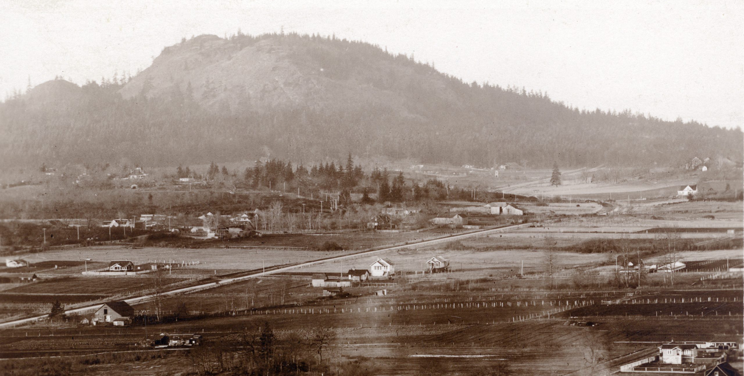
In the 1880s, a wagon road was built to connect Cedar Hill Road to Cordova Bay through the Park following the long-established First Nations trails. On September 30, 1889, owing to Sir James Douglas, the Province of British Columbia granted Mount Douglas Park to the Corporation of the City of Victoria “upon trust to maintain and preserve the same as a public park or pleasure ground for the use, recreation and enjoyment of the public.”
Many trails in the Park were named after early settlers in Gordon Head before the Park came to Saanich. Several owe their course to the tracks made by James Tod’s sheep over a hundred years ago.
In 1889 Captain G.H. Richards wrote the Hydrographer of the Royal Navy explaining how “Cedar Hill,” though small and insignificant, came to be known as Mount Douglas. “…it has been much the fashion here to give the term Mountain to elevations which are by no means entitled to that description. I have taken the liberty of reducing all under 1000 feet to Hills, except for Mount Douglas, which I have retained as a mountain although only 690 feet (ed: actually 738’/225m), partly from not wishing to lower the Governor [James Douglas] and partly because Douglas Hill does not sound well…”
1900s – 1929s
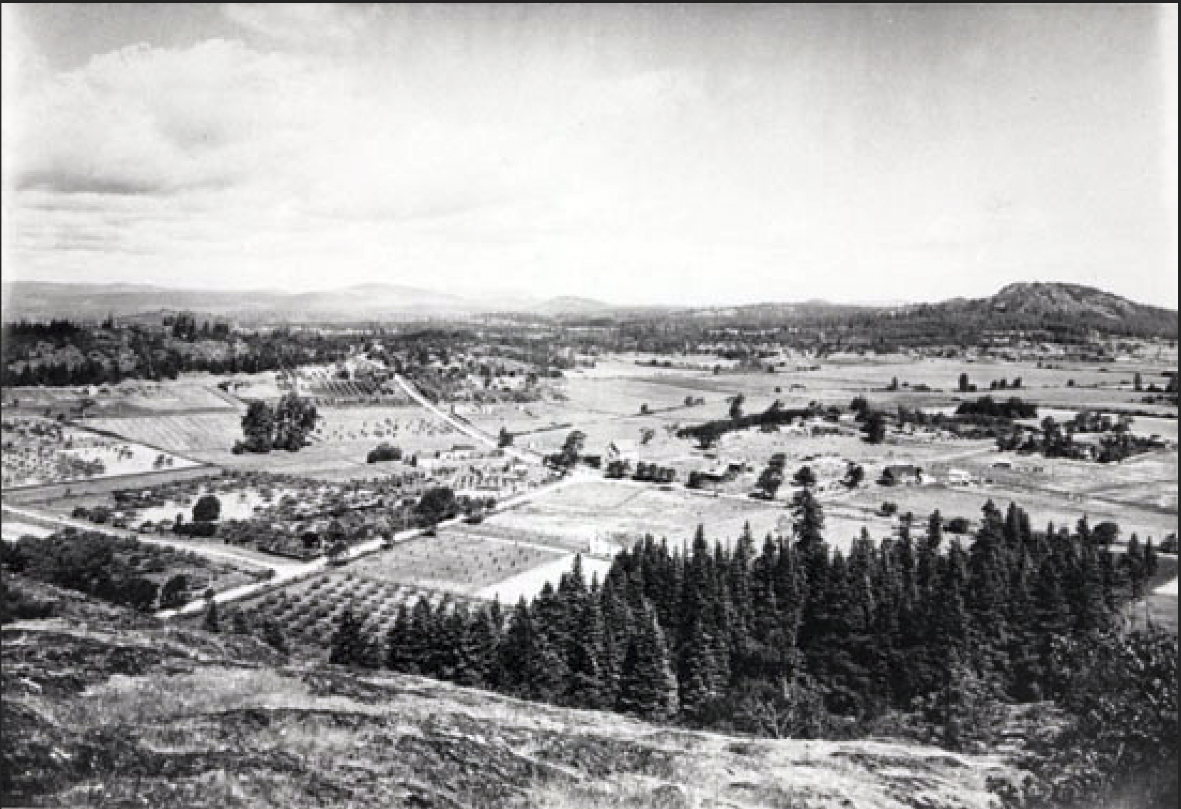
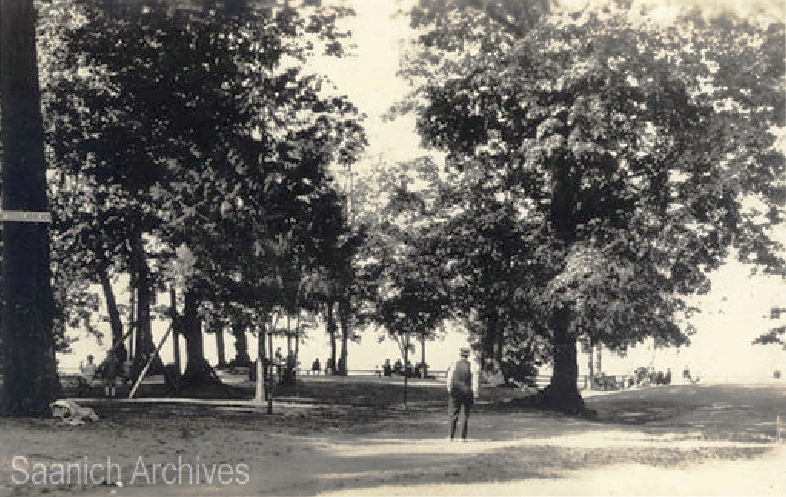
By the early 1900s, a road had been completed along the shoreline of the Park through the site of the present picnic area (then called “Hyde Park”). Even in the very early days, despite the distance, the people of Victoria came to the Park to enjoy the tree shade and sunny beach. By 1902 one could walk to the Park from the Royal Oak station of the V & S Railway, a distance of three kilometres. Late in 1915, a bus route through the Park was established.
1930s -1950s
A Royal Commission was issued to O.C. Bass K.C. in 1930 “to inquire into the management, regulation, protection and control of…Mount Douglas Park.” This was in response to a storm of complaints from concerned citizens about gravel excavation, garbage dumping, tree-cutting and goat grazing, and constructing an alternative route to Cordova Bay.
The following is an extract from the report:
The Park is a property, ideally situated outside the limits of Victoria and still practically in its virgin state. It comprises an area of between 300 and 400 acres, diversified in character, and capable in artistic hands of being a perfect beauty spot, in contrast to the usual run of public parks with their gauche, gaudy and even vulgar modernisms. Set aside in early times by that far-seeing Administrator, Sir James Douglas, and originally named Hyde Park, it contains almost irreplaceable treasures of native trees and plants. To place the desecrating hand of modernism (so-called) on the property would be committing sacrilege to nature, and would be an outrage on the memory of the man who with rare foresight set it aside for the pleasure, education and restful comfort of the people he foresaw following him.
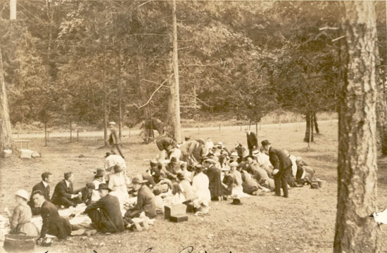
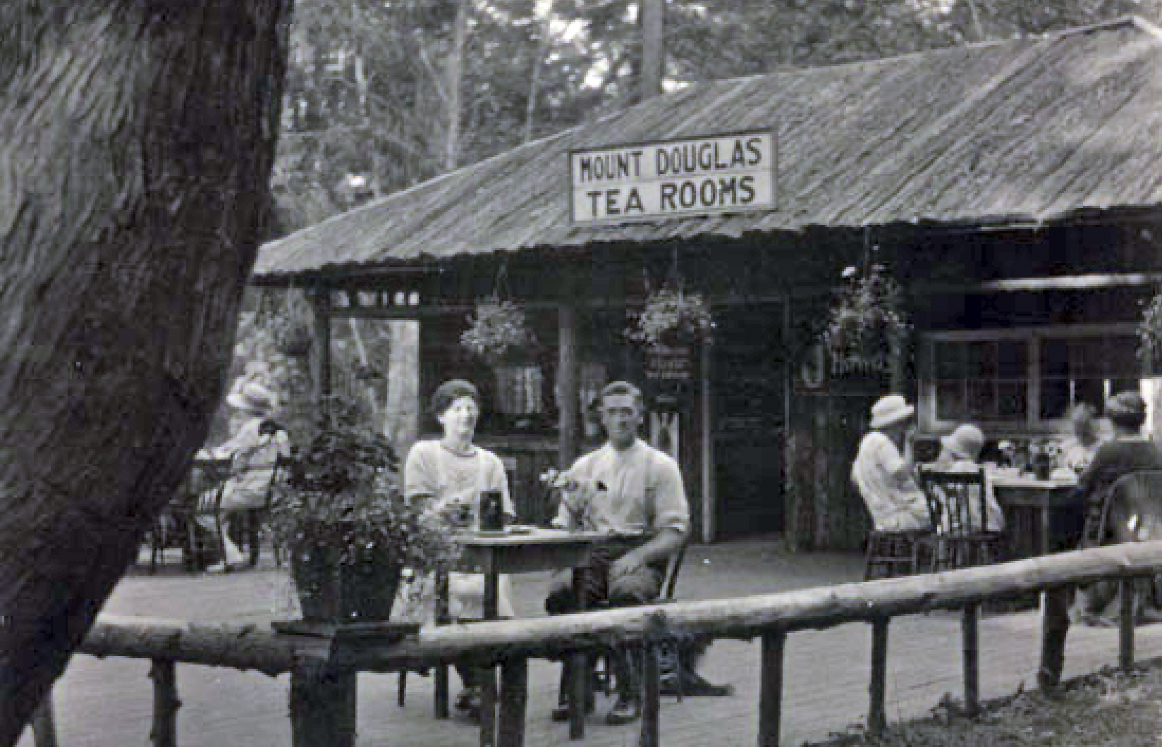
A restaurant and then a tearoom in the Park attracted many visitors during the 20s and into the 50s. During the 30s, improvements to the Park gave employment to victims of the Depression. The huts built for these men in the Park picnic area were later used as a youth hostel up to the early 50s.
Churchill Drive, the road to the summit and its 360° panorama, was constructed in 1939. During WWII, the military had a radio direction finding installation at the summit built on an octagonal concrete base, providing the foundation of the existing summit lookout. For further details see https://PKOLS-mountdouglas.ca/web/Newsletters/2020-Fall.pdf
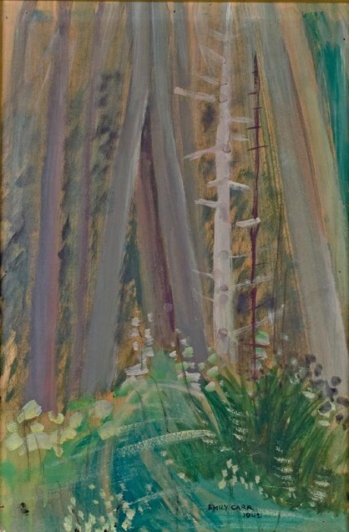
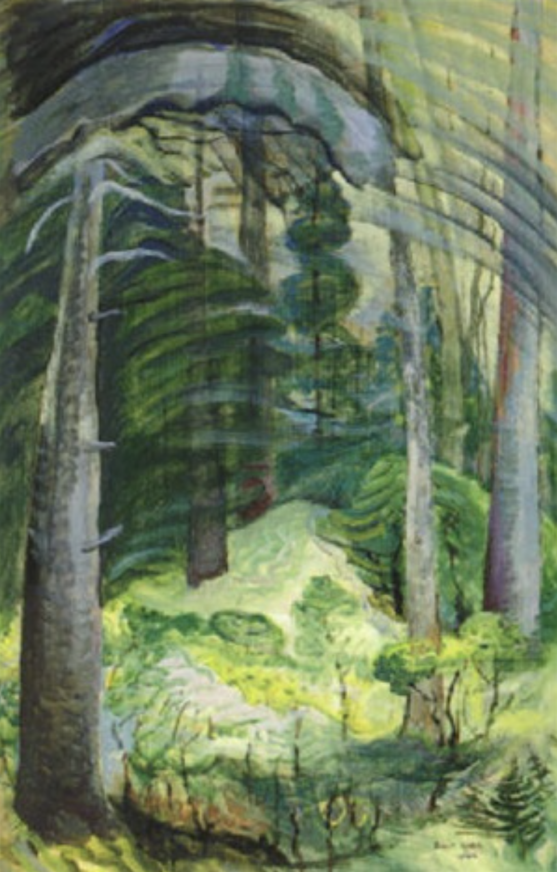
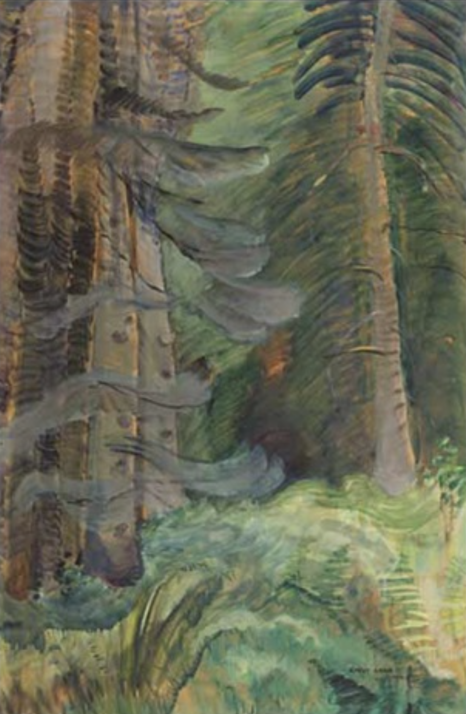
In August 1942, Emily Carr spent nearly two weeks living in one of the huts in PKOLS-Mount Douglas, telling a friend at the time she felt as though “the forest still has something to say to me.” It was here, “among the trees by the gully, about 75 yards in from the park entrance,” where she painted her final works, a series titled “Summer, Mt Douglas.”
1960s – 1970s
In August 1971, a fire blazed through 10 acres on the mountain’s west slope. In response, the Victoria CB Radio Club set up a fire patrol for PKOLS-Mount Douglas and Mount Tolmie. By October of that same year, they had carried out 180 patrols over 3027 miles and located seven fires.
The following summer, an out-of-control fire consumed 50 acres on the mountain, burning for six days before it was put out. In 1975, another brushfire raged for 5 hours on the Park’s Cordova Bay/Blenkinsop side.
By 1975, there were increased concerns about bank erosion and destabilization. That year, the first riprap was placed on the beach, hoping to hold the bank. A program was also established to encourage growth on the clay banks.
In 1978, the last Annual Victoria Motorcycle Hillclimb took place at PKOLS-Mount Douglas, an event that dates back to 1927. Although unofficial Hillclimb events continued to take place throughout the 80s, motorcycles and mountain bikes were banned from the Park in 1992.
1980s – 1990s
On September 30, 1989, Mount Douglas Park celebrated its 100th anniversary. This seemed an appropriate time to form The Friends of Mount Douglas Park Society, now called PKOLS-Mount Douglas Conservancy, to work at keeping the Park in its natural state so all might enjoy the treasures it provides for this generation and all to come.
As a result of the controversy concerning a new road through the Park and a proposed building on top of the East Summit, the Friends of Mount Douglas Society and Saanich Council found a resolution to the conflict. On November 22, 1992, Saanich Council met on the summit of PKOLS-Mount Douglas, where the Province granted care of the park to Saanich under the terms of the original 1889 trust, along with the Mount Douglas Park Charter, which the Council then proclaimed. This charter can be seen inscribed on a bronze plaque at the summit parking area and the “Charter Rock” in the lower Churchill parking lot.
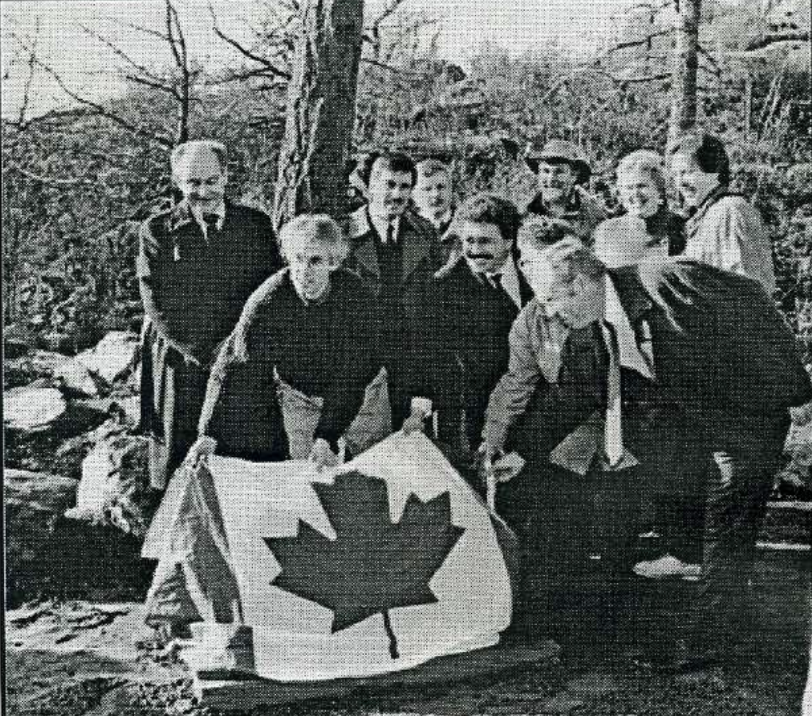
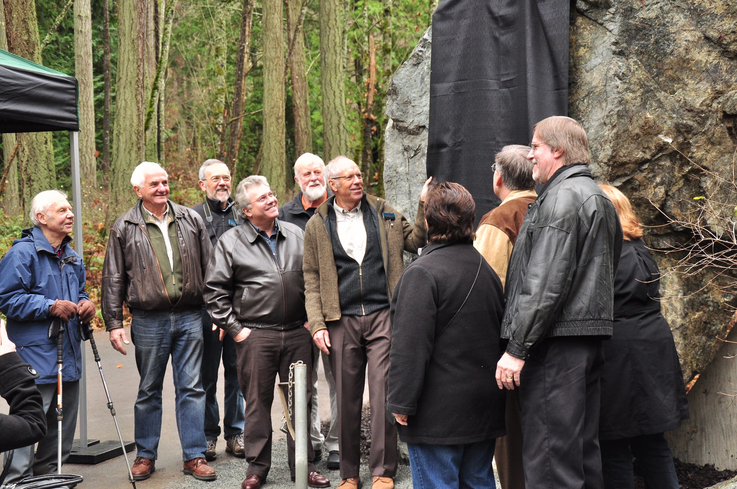
During the 20th-anniversary celebrations of the Park grant and proclamation, a stone inscribed with the Mount Douglas Charter was unveiled at the Churchill drive entrance
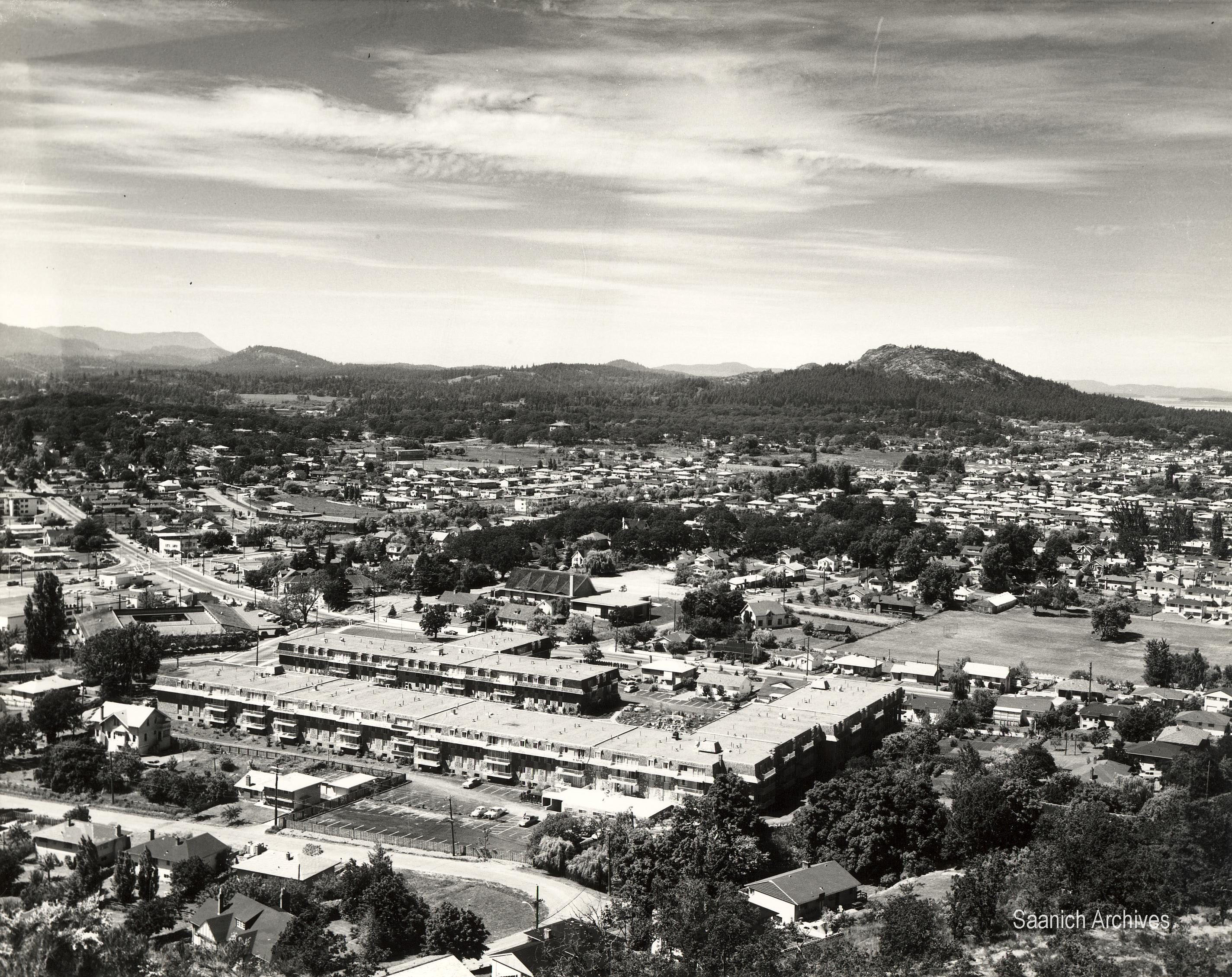
2000s – 2021
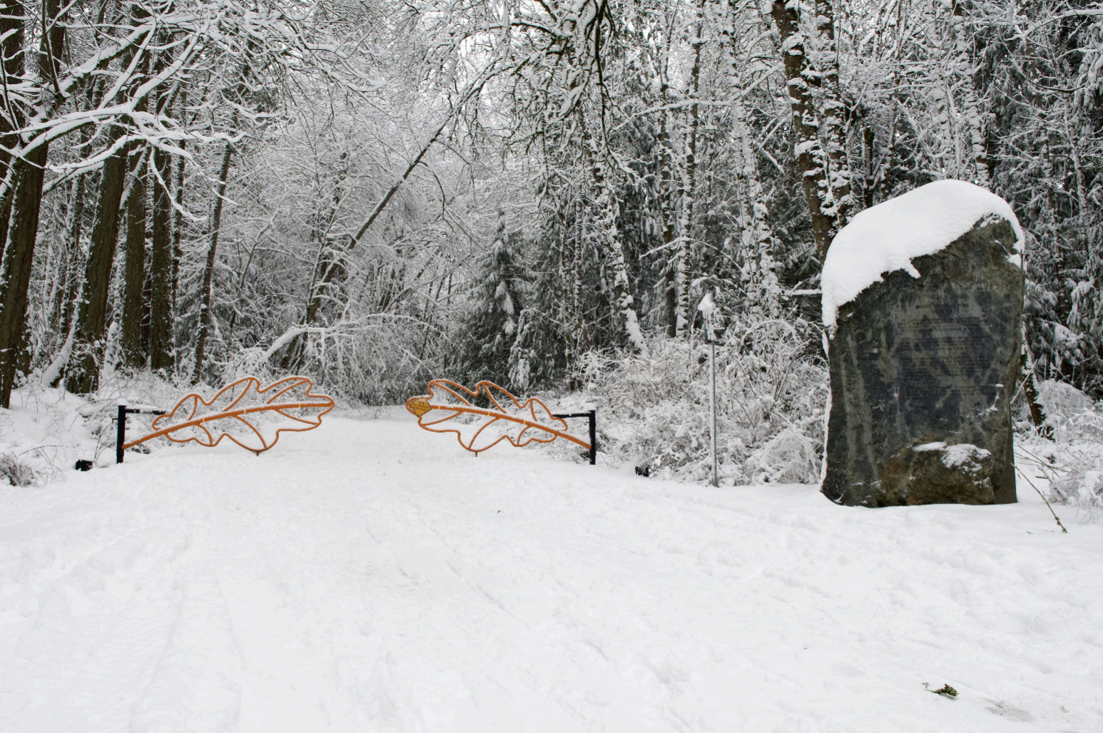
In 2000, Churchill Drive was first closed to cars on Sunday mornings until noon. This was a resounding success; with a dramatic increase in walkers able to enjoy nature without exhaust fumes and motor vehicle noise. In 2009 the Sunday morning road closure was extended to every day of the week for a six-month trial period. That, too, was deemed a success, and the daily closure to noon was made permanent. With the addition of the Charter Rock, the information kiosk, and the new gates, Churchill Drive has been transformed, and many visitors are introduced to the charms and delights of PKOLS-Mount Douglas by using this entrance.
2022 –
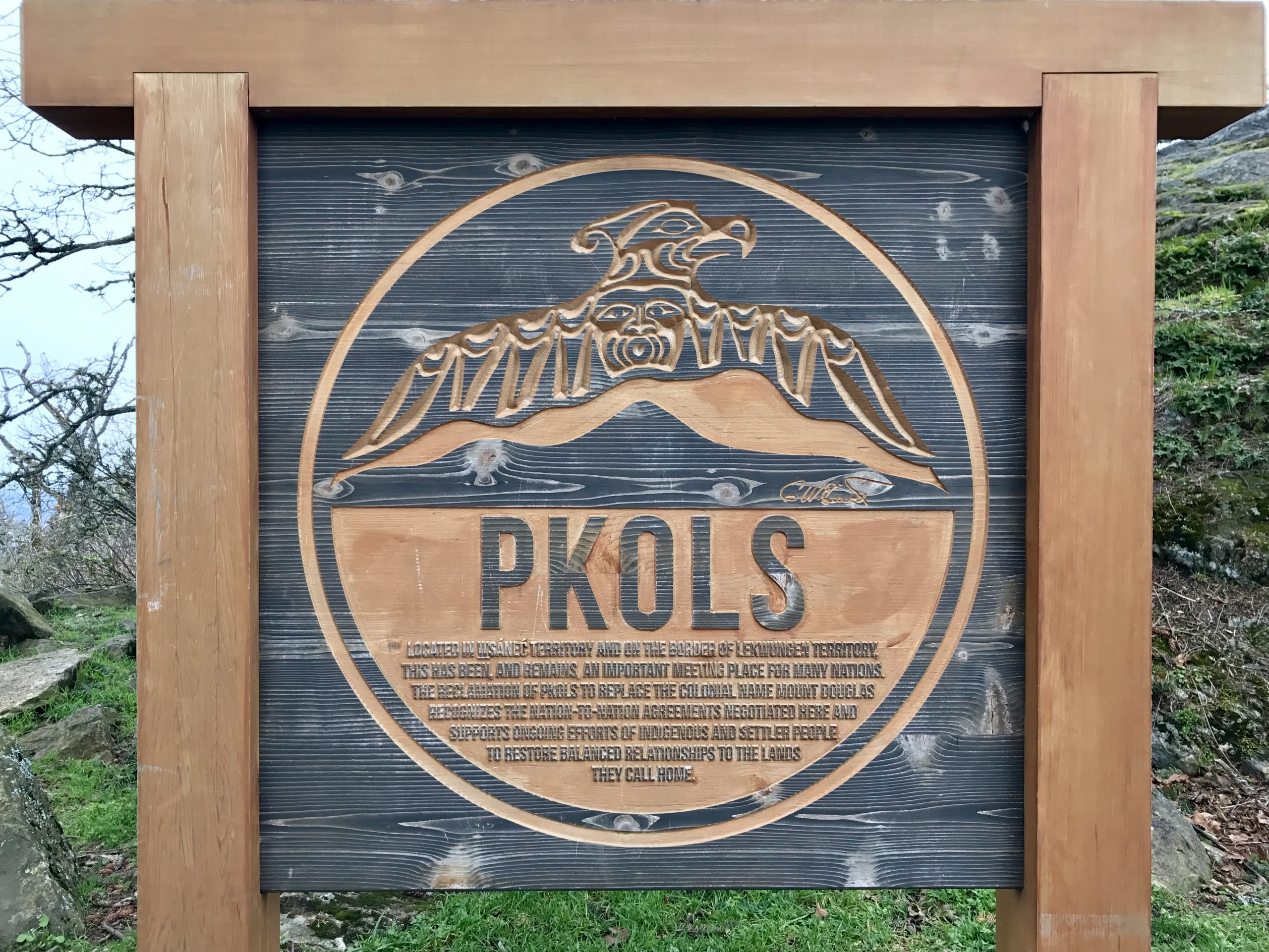
In October 2022, in consultation with the WSANEC Leadership Council (WLC), Saanich Council renamed the park, PKOLS (Mount Douglas Park). At the same time, there is a request for the Federal Government to restore the mountain to its original name, PKOLS.
During the 30th Anniversary celebrations, a new bridge was unveiled over Douglas Creek.
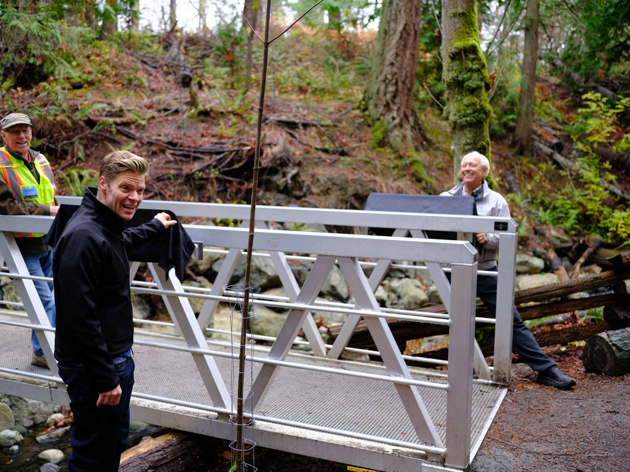
Photo Sources: Saanich Archives, City of Victoria Archives, BC Archives, UVIC Colonial Despatches Project, Artnet, Wikimedia Commons
Further Reading: Elliott, Dave, and Janet Poth. Saltwater People: A Resource Book for the Saanich Native Studies Program. School District 63 (Saanich), 1990 (PDF); Jenness, Diamond, and Barnett Richling. The W̲SÁNEĆ and Their Neighbours: Diamond Jenness on the Coast Salish of Vancouver Island, 1935. Rock’s Mills Press, 2016; Jupp, Ursula. From Cordwood to Campus in Gordon Head: 1852-1959. 1975; Friends of Mount Douglas Park Society Newsletters 1990-2022